Friday, February 14, 2020

Valpo II: Return to Concon


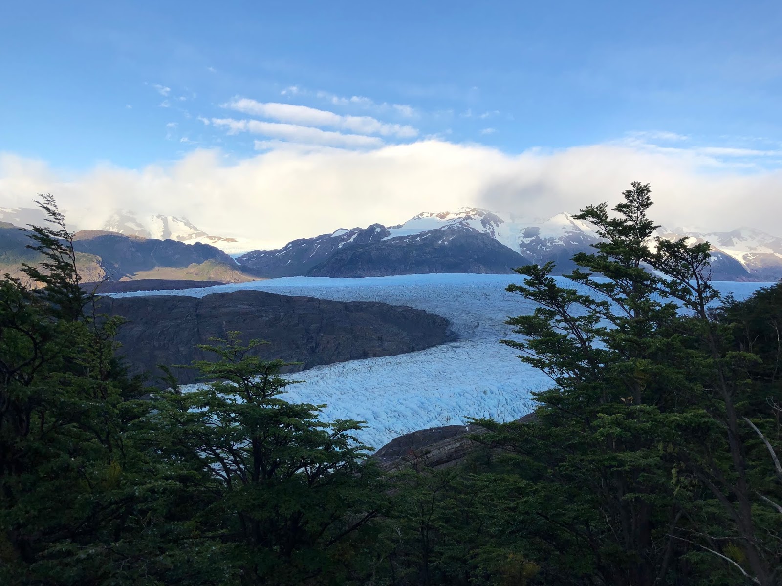
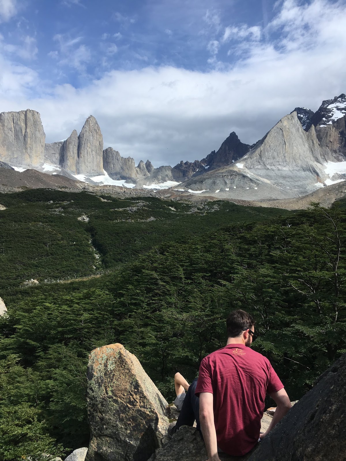
After Maya and Briton's big trip to Patagonia, they had some time to spend in and around Santiago. One of those days, we took them to get to know the coast- Valparaiso and Concon.

First Stop: Valparaiso

We rode the bus from Santiago to Valparaiso bright and early, and from the Valpo bus station we went straight to the city's most classic tourist destination: Pablo Neruda's house, La Sebastiana. Karen and Matt have already visited the house and agree that it is a cooler house than La Chascona, Neruda's Santiago residence. They waited outside and enjoyed the nice weather while Maya and Briton meandered through the rooms with an audioguide.

We learned that although we were on top of one of Valpo's many hills, and our next destination - Cerro Alegre - was on top of another, we did not have to climb down and up again to get between them. A winding road followed a natural crest between the hills, and we walked along it taking in the sights and the murals along the way. 

Once we reached Cerro Alegre, we got a tasty traditional Chilean lunch in a homey restaurant, followed by ice cream and looking around the many craft and clothing stores. Cerro Alegre is very trendy and Maya (inner sunset resident) seemed right at home.

This trip was unfortunately NOT sponsored by Cotopaxi.

"Should I move to Valparaiso?"

Next Stop: Concon

From Valpo, we got a taxi north to Concon, where the actual swimming beaches are (Valpo is a port). Of course we made a few stops along the way: first, at the Concon dunes. Karen and Matt tromped up the first sand dune, and turned around to find Maya and Briton had disappeared. Some investigation revealed they were huddled in the shade of a bush- both were wearing sandals and couldn't walk on the hot sand. They had to use Matt and Karen's socks in order to finish the climb.


Maya and Briton ran off to explore the emptier parts of the dunes, while Matt and Karen watched them appear and disappear among the dunes like exuberant ants.
And we also stopped at Empanadas las Deliciosas to eat a few of their famous shrimp and cheese empanadas. Then we spent a pleasant couple of hours at the beach before riding back to Santiago.


Ending a full day at a hip bar in Barrio Italia

Torres del Paine and the W Trek: Getting Started

Torres del Paine National Park may be the most famous Chilean landmark. The hiking route that connects some of its most distinctive features is shaped like a W, giving the trek its name. Karen's sister Maya and her friend Briton joined us on a trip to Torres del Paine, but they both declined to guest-write this post.

The Day Before

Matt and Maya meticulously catalogued the calories of various packaged foods in a supermarket to craft their backpacking meals.  The sight was pretty funny and lasted a full hour- imagine Maya reading out calories and serving sizes aloud as Matt kept a running tally on his cell phone.  Karen followed suit even though she was staying in a lodge, since meals in Torres del Paine average 6x those in Santiago.


Briton arrived 8pm the night before the trek.  Just in time to catch a local beer and food festival in Puerto Natales!


Getting There

We hiked the W in 5 days, and decided to begin on the west end. This meant getting up early to take a bus from Puerto Natales into the park, watching a video about the rules and regulations, paying a fee, taking a second bus across the width of the park, and finally crossing by boat to the hiking trail. Unfortunately this did not all go smoothly. In an effort to reduce the weight we were carrying, we left all but 100.000 pesos with Karen. We had no US dollars. So imagine our surprise when we arrived at the park entrance and found that all of the prices posted online only apply to stays of 3 days or less. For longer stays, there are higher prices. Matt got a break for being a Chilean resident (although he had to write out his Chilean ID number without looking to prove it) but the entrance fees still came out to 80.000 pesos. Nobody that we asked knew for sure how much the upcoming boat ride would cost, but everyone agreed they did not accept credit cards. The park actual official advice of the park employee was to get on the boat and then try to cry and look distraught when we had to pay. Luckily, a kind stranger was able to lend us an additional 50.000 pesos, giving us exactly the amount we needed to ride the boat (23.000 per person), plus 1.000 pesos extra!


The boat takes you across this lake. (Lake Pehoe)

Getting Started

We finally started hiking by 1PM, at Paine Grande Lodge, located in the bottom left corner of the W. We hiked up the leftmost leg of the W towards the Grey Glacier. 

After reaching the campsite, we went to a lookout with an incredible view of the glacier and several ice bergs that had broken off. 


We tried to go to a series of hanging bridges even closer to the glacier, but it was getting dark and they were farther than we realized, so Maya and Briton decided to get up early the next morning to see them before the main hike.  Check it out!


If you don't want to bring your own gear for the trek, you can rent these tents from a park service- convenient but expensive $$$


Torres del Paine and the W Trek: French Valley


Day 2

We retraced our steps back to Paine Grande Lodge. The W involves a lot of out-and-back hikes, but we were pleasantly surprised to find that hiking the other direction revealed entirely new and beautiful views. On the way towards the glacier, we had of course been looking towards the glacier and the lake that it feeds. On the way back we had a stunning view out over the rolling hills towards snow-capped peaks. 
At Paine Grande Lodge we kept going, approaching the Cuernos and skirting around lakes, until we crossed a raging glacial river and reached our next campsite, right at the mouth of the French Valley, which forms the middle leg of the W.


Marching towards Los Cuernos
The bridge to get to our campsite


In case you didn't realize where to refill your water. 
(hint: it's the river)

A glacial river and the source of our water
Matt icing his aching knee at a natural source!

Day 3

This day was a short hike- up into the valley to a lookout, then back out a few kilometers to our next campsite. The climb to the lookout involved a steep ascent at the end, but was otherwise one of the most pleasant hikes of the entire route. We walked along a glacial river, through shady woods, and enjoyed good weather the entire morning. Every so often the glaciers on the mountain side would break with a loud rumble. A few times we even saw the small avalanche as it happened. At the lookout we were surrounded by strange and striking rock formations carved by glaciers.


Another hiker was nice enough to take our photo. It came out crooked, so we asked for another one. He laughed, took a second photo, and said, 'there, that's better.' This is that second photo.


As usual, these glaciers were much bigger and much farther away than they appeared- their true size was evident when they periodically calved.

On the way out, we had a view out of the valley at a landscape dotted with stunningly blue lakes.


Torres del Paine and the W Trek: The Torres Themselves


Day 4

We still had 2 days of hiking left to get to the Base las Torres viewpoint. On the penultimate day, we found ourselves descending to walk along the shore of the beautifully blue Lake Nordenskold. It rained off and on, and we kept leapfrogging a group of slower hikers who caught up to us whenever we stopped to put on or take off our rain gear. Finally everyone settled on an outfit they were comfortable with- for some this meant getting wet but not overheating, and for others it mean staying dry but a little too hot. We were glad to leave behind out trail companions, who had begun to tease and mock us.


And speaking of leaving people behind, we eventually had to split our group in two- Maya and Matt to the El Chileno campsite, and Briton to the Hotel las Torres campsite. The trail to the El Chileno site wound through a meadow and a grassy region that had become almost too muddy to walk through due to the rain. The last stretch brought us through the appropriately named Windy Pass (that's Windy as in Gusty, not Sinuous- although in fact it was both). A train of horses passed us, bringing supplies to El Chileno, which felt like a nice bit of closure after stepping over horse poop the entire day. 

At El Chileno, it was fully raining and a sign hung outside the check-in area which read, "Don't ask us about the weather- we don't know." When we checked in, they handed us a hammer and a bucket of nails to secure our tent to the wooden platform.

Windy Pass 

On our way through the Windy Pass, we met some friends we'd made on the trail who told us that it was currently snowing at the Torres. The next day we had slightly better luck. The weather was nice and although the Torres were mostly covered in clouds, they did briefly appear (at maybe 75% visibility) while we were there. As we left, the clouds cleared again- but the trail was getting more crowded by the minute, so we left.


The lake at the base of the Torres- the Torres are to the left, covered in cloud

This is about as much of the Torres as we saw- enough for me!


We caught an evening bus back to Puerto Natales, where Karen was waiting for us with a Chilean specialty: take-out sushi!  Instead of raw fish, it features a LOT of cream cheese and (cooked) chicken.  The next day, we killed some time by checking out a cave where the remains of a Milodon (giant sloth) was found.

A replica of what the Milodon looked like.

A section of the cave where it's remains were found.
 For dinner, we indulged in some much-needed FRESH produce at home.